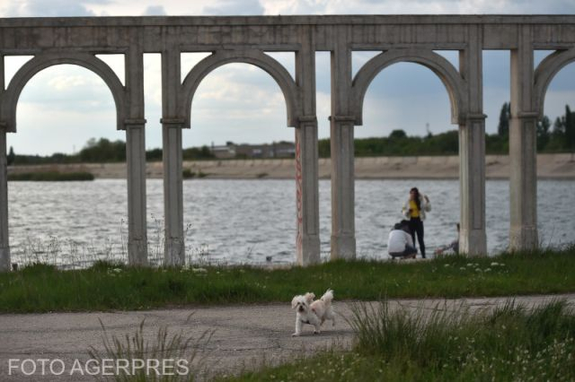
The Crangasi district in the north-western area of Bucharest in the north-western area of Bucharest boasts Romanian capital city’s biggest artificial lake. The water surface area has a rather recent history. It appeared 36 years ago, in 1986. It is known as the Mill Lake. The lake is also known as the Ciurel or the Dambovita Lake. The area proper of the water surface is impressive; it used to be part of the large-scale watercourse arrangement project targeting the Dambovita river which cuts through Romania’s capital city, from north-west to the east.
We’re about to explore the history of the Mill Lake, and our guide is historian Cezar Buiumaci with the Bucharest Municipal Museum. Here he is, taking us back to the beginnings of Bucharest’s newest and biggest lake.
Cezar Buiumaci:
The Mill Lake is part of Dambovita river’s watercourse arrangement project and, as an idea, it first occurred once with the inception of Bucharest’s town planning works in the 20th century’s early 1980s. It was part of Nicolae Ceausescu’s great makeover project for the city. The Bucharest leader was only taking up on an idea that had occurred previously, that of the construction of a waterway linking Bucharest to the Danube and involving the watercourse of Dambovita and Arges rivers. The condition of the Dambovita river flow was analyzed, only to reveal that the old river bed was not fit for inland waterway transportation. For the water flow to increase, two big river-barrier lakes were created: Ciurel, also known as the Mill Lake or the Dambovita Lake, and Vacaresti.
The large-scale makeover project of the mid 1908s targeting Dambovita had a political component, but also a town planning significance. Here is historian Cezar Buiumaci once again, with the details.
On July 5, 1985, the Romanian Communist Party’s Central Committee convened a meeting of the Executive Political Committee, highlighting the impending necessity of carrying watercourse arrangement works for Dambovita river as part and parcel of the new Civic Center project. The project included the construction of a big river-barrier lake in the western part of the city, with the purpose of storing an important volume of water required for the clean-water supply of Dambovita river. It had also been though out as a protection system in the event of the rivers’ bursting their banks, at once being a pleasure lake. Watercourse arrangement works also targeted the sanitizing of Dambovita river as it was flowing through Bucharest, the improvement of the climate, the creation of proper navigation facilities and the carrying of construction works for the Bucharest – River Danube waterway. Works took off as soon as the official consent was given, by dint of Decree no. 201 issued on July 12, 1985.
However, in spite of all that, the idea of Dambovita river’s navigability would be given up on, as soon as specialists were consulted. On September 28, 1985, the construction site was opened festively, while almost a year later, in August 1986, the gates were be closed, of the Ciurel dam.
Historian Cezar Buiumaci:
On August 21, 1986, the large-scale work was completed for the Ciurel river-barrier lake, Bucharest’s biggest artificial lake, stretching along a surface area of 240 hectares, with a total capacity of 20 million cubic meters and meant to provide the supply of drinkable, irrigation and industrial water. The river-barrier water lake also had the purpose of collecting the water from floodwaters. The undertaking also included river bank protection works, upstream of the lake, until Dragomiresti-Deal, along 5 kilometres, or thereabouts. A surface area of more than 1,100 hectares of farmland was thus protected, as well as other categories of investments lying in the proximity of the river bed. For the water to be evacuated, a river dam was built, nearby the Ciurel bridge, it was made of ferro-concrete, with 3 dams having a 6-meter span each. The sea of Crangasi has a depth of 5 to 10 meters and is embanked with a dam made of thick clay, obtained from the excavation operations for the valley of the lake.
However, the large-scale project meant the relocation of a cemetery and of several human communities that inhabited the area. According to the urban legends, sometimes human bodies could be seen floating on the water, so the lake was dubbed the Death Lake, a play upon words, in Romanian, with Lacul Morii becoming Lacul Mortii.
Cezar Buiumaci:
Here, apart from other objectives, there was a cemetery around Crangasi church and the decision was taken, for the cemetery to be dismantled and the human remains to be relocated to the Giulesti-Sarbi cemetery. In early 1985, disinterment works began. The timeframe for that kind of work was limited, the employees were unable to meet their deadlines and the gravediggers from other cemeteries refused to help with the dismantling, so sanitation workers were employed instead. The construction of the lake on the premises of the former cemetery, that still makes the topic of several urban legends.
Another purpose for the construction of Lacul Morii, the Mill Lake was that of doing leisure and sports activities.
Historian Cezar Buiumaci:
Since it was built in a densely-populated area, the Dambovita lake also had to cater for a cultural and sports component. Being an area where the access from other districts could be made using the underground thoroughfare but also the surface public transport, arrangements were designed for ground and nautical sports: sports fishing wharfs and an island with a surface area of roughly 5 hectares. For its greater part, it was built by workers from other enterprises doing community work, they put in more than 70,000 hours in terms of workload until September 2, 1987.
The Mill Lake in north-western Bucharest, for quite some time now, has been a noted landmark of the city. The development of the last three decades, the events that have been staged there as well as the natural climate that has been created in the meantime have made the lake increasingly attractive.
(EN)
